Today, the City of Boston released the final report for Climate Ready Dorchester—a study that proposes strategies to equitably reduce flood risk in Dorchester, the largest and most diverse neighborhood in Boston.
In collaboration with a large team including TetraTech, Utile, All Aces, Inc., Woods Hole Group, and Nitsch Engineering, SCAPE focused on strategies that enhance access and mobility, promote the health of valuable ecosystems, and reinforce a connected, cohesive sense of place.
The launch ceremony for Climate Ready Dorchester—and related reports focusing on Downtown and North End—was held on Thursday, October 29 via webinar.
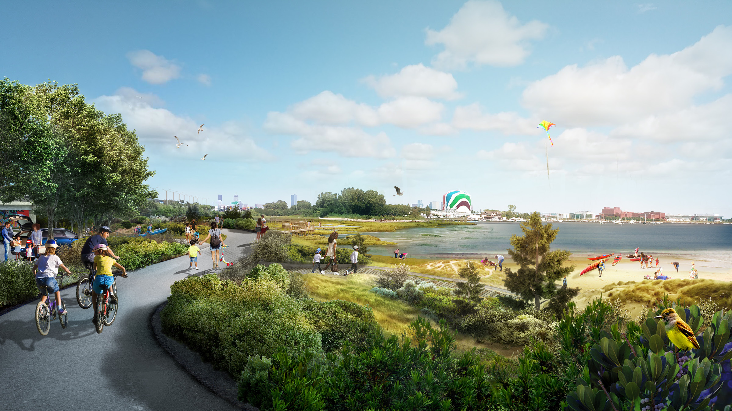
The Dorchester shoreline stretches 9.5 miles along Boston Harbor and the Neponset River. Open space, marshland, and parks line the waterfront, but these spaces are not connected to each other or to adjacent inland communities. Today, only limited points of access remain, and these align with major inundation pathways.
Climate Ready Dorchester expands the vision for the future of the Dorchester shoreline, offering strategies to adapt to coastal flood risk while also establishing a framework to connect the waterfront parks, beaches, and marshes in Dorchester, transforming them into one accessible, continuous waterfront – The Dorchester Shoreway.

