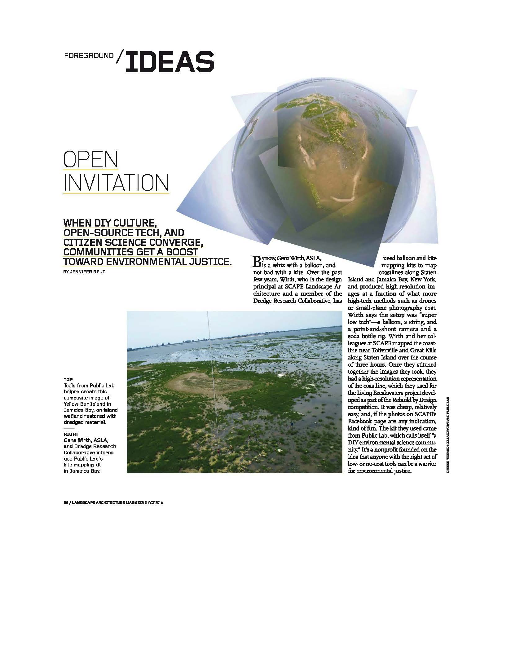
The October 2016 Landscape Architecture Magazine (LAM) issue featured an article on using open-source tech and citizen science to gather environmental data and mapping images. Tools such as mapping kits or measuring devices can be used to create composite site images, provide data on air and water quality, or even document events over time, such as the BP oil spill.
In SCAPE’s case, Gena and the Living Breakwaters team used a balloon mapping kit to map the coastline of Staten Island, taking the images to create a high-resolution representation of the coastline conditions. This “DIY” approach, pushed forward by Public Lab’s work around the U.S., represents an empowering new way for communities to become their own advocates for environmental justice.

