On October 2-6 and October 16-19, SCAPE and the 9 other design teams chosen for Resilient By Design’s Bay Area Challenge came together for Week 2 and 3 of research. Where week 1 focused on East Bay, the following two weeks held research tours throughout the North and South Bay Area.
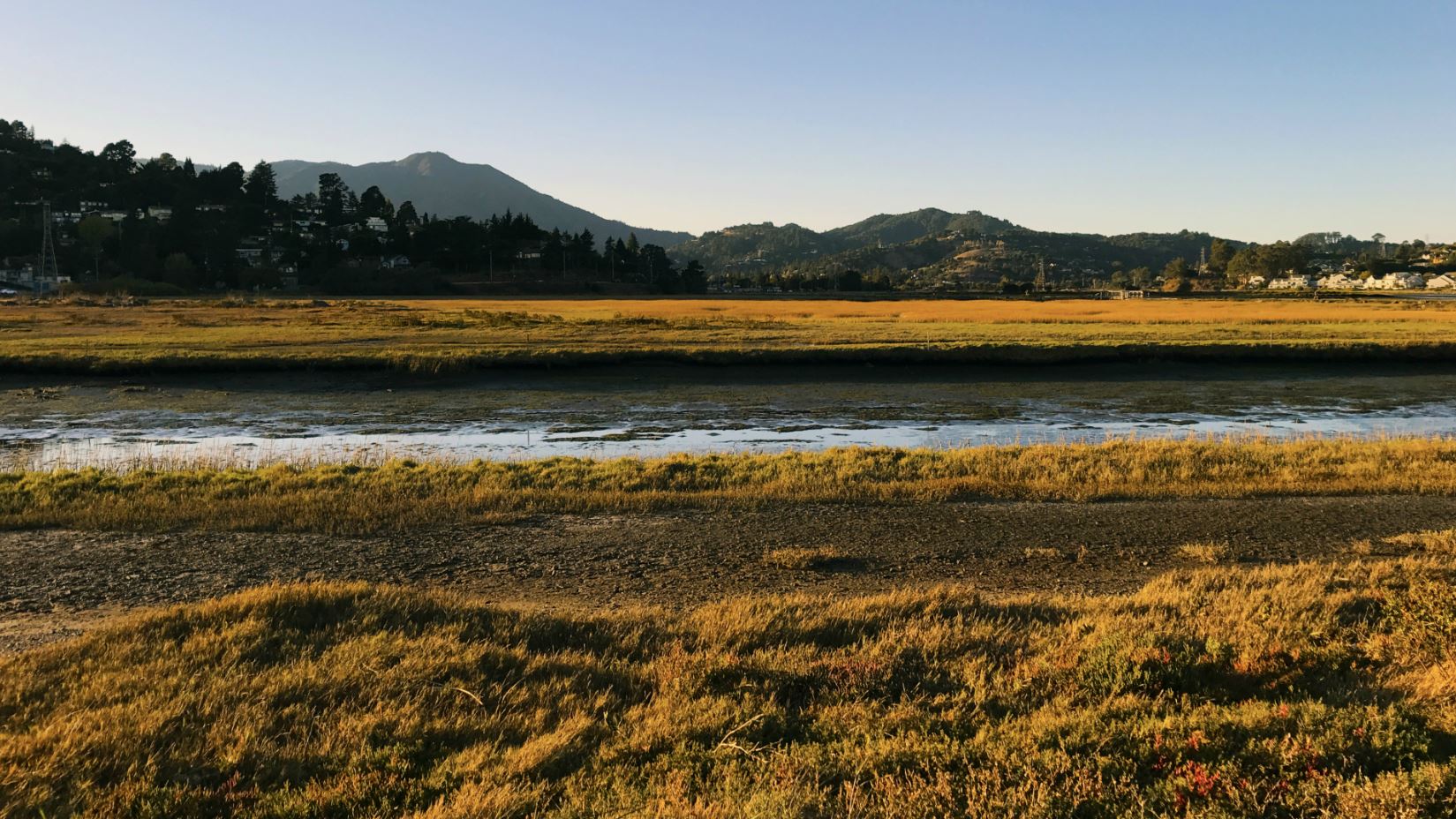
Week 2 of the Collaborative Research Phase of the Challenge, brought the Public Sediment team to many historic shoreline ecosystems and marshlands. To further understand sea level rise and climate change vulnerabilities in the North Bay, the teams explored numerous tributaries, marshlands, and shoreline communities. SCAPE traveled from the southern end of Mare Island in Vallejo, where the inter-tidal zone of fresh and salt waters mix into the San Pablo Bay from the Carquines Straights, to the Napa River watershed region.
Week 3 started with tours of the South Bay region of San Mateo County and San Jose. Design teams were guided through many hiking trips around the San Bruno and Colma Creek, rivers that empty into the San Francisco Bay, in addition to visiting Cooley Landing, a former toxic dump site in East Palo Alto, now converted into a park. SCAPE also spent time in the highly modified South Bay Shores, exploring the bird islands, sloughs, and levee breaches of the South Bay Salt Ponds.
The next visit will take place in November and will be the first opportunity for all 10 teams to facilitate a design critique and receive feedback from one another. Stay tuned for more updates along the way by following us on Facebook, or Instagram and Twitter at @scape_studio, or by searching the hashtags #ResilientBay, #ResilientbyDesign, #PublicSediment, #BayAreaChallenge.