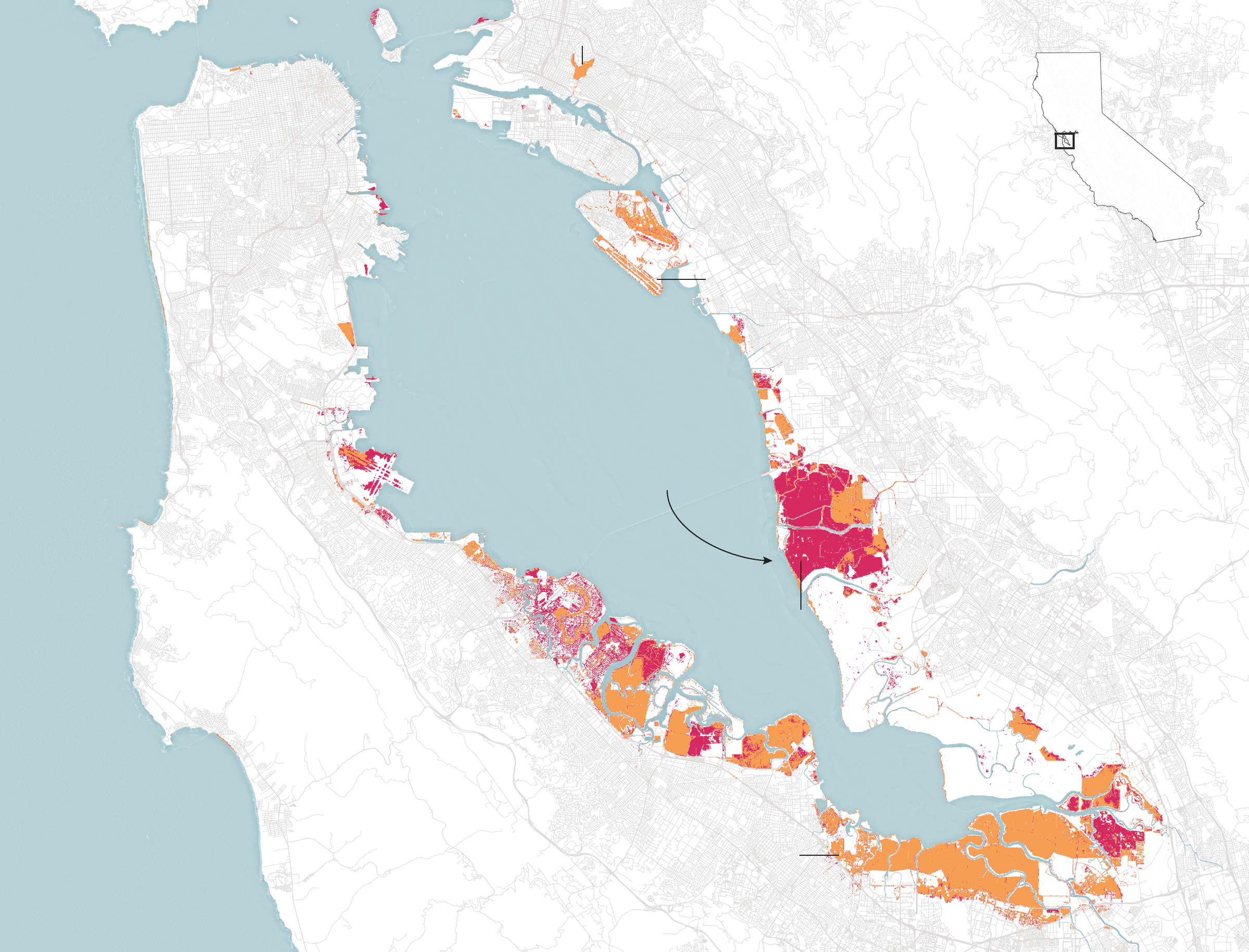
A new study published in Science Advances warns that sinking land will exacerbate sea level rise and flooding in the Bay Area. Using a precise satellite radar system to map land loss in the Bay Area, and combining projected land loss with sea level rise, the authors of the study found that by the end of the century, 90 percent more land could be at risk of flooding than from sea level rise alone. A KQED article highlighting the new study pointed to Resilient By Design Bay Area, and specifically the Public Sediment Team, as strategically designing a proposal that would incorporate such findings. Gena was quoted in the article, describing the circumstances of Alameda Creek – the watershed where Public Sediment is focused: “there’s been thinking that the levees are a fundamental part of the solution to sea level rise…but if the whole ground is sinking and the groundwater dynamics are changing we have to plan in a totally different way.” Read the full study study and see The New York Times graphics here.
Image credit: The New York Times. The area designated by the area is Public Sediment’s study area, Alameda Creek.